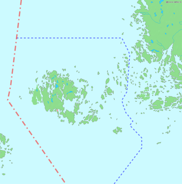
Fichier:Åland map with borders.png

Taille de cet aperçu : 595 × 600 pixels. Autre résolution : 1 190 × 1 200 pixels.
Fichier d’origine (1 190 × 1 200 pixels, taille du fichier : 325 kio, type MIME : image/png)
Historique du fichier
Cliquer sur une date et heure pour voir le fichier tel qu'il était à ce moment-là.
| Date et heure | Vignette | Dimensions | Utilisateur | Commentaire | |
|---|---|---|---|---|---|
| actuel | 16 septembre 2015 à 01:44 |  | 1 190 × 1 200 (325 kio) | Arthur (discussion | contributions) |
Vous ne pouvez pas remplacer ce fichier.
Utilisation du fichier
Les 5 pages suivantes utilisent ce fichier :
- Die Anfänge des zeitgenössischen internationalen Systems: 1870 - 1939
- Gli inizi del sistema internazionale contemporaneo: 1870-1939
- Les débuts du système international contemporain : 1870 – 1939
- Los inicios del sistema internacional contemporáneo: 1870 - 1939
- The beginnings of the contemporary international system: 1870 - 1939